
Four Freeways, One Hometown: Reading Long Beach's Corridors Before You Merge
Interstate 405, Interstate 710, State Route 91 and State Route 22 divide Long Beach's driving life between them — commuter lanes, port trucks and beach traffic, each with its own way of slowing down.
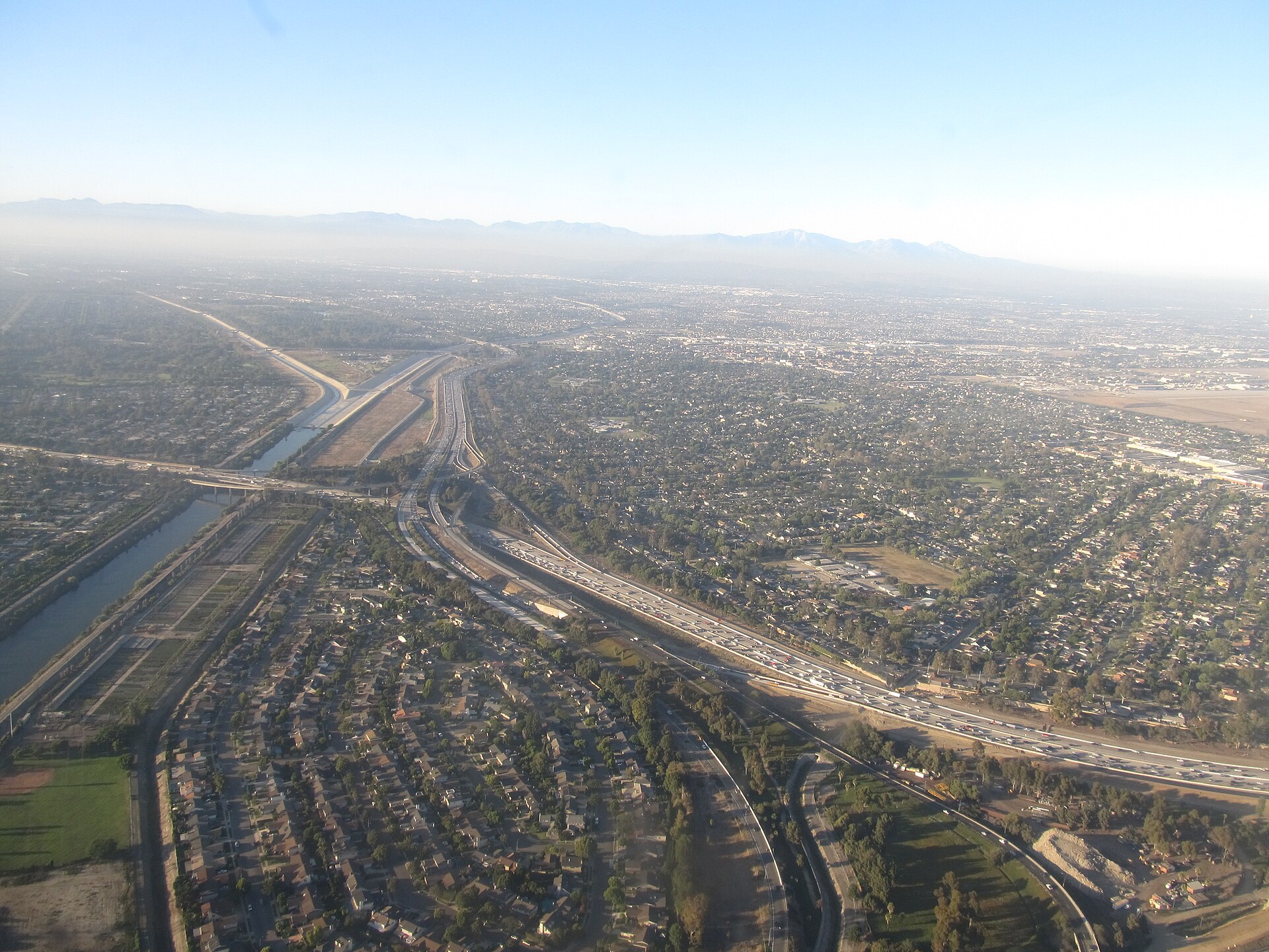
Long Beach drivers live at a crossing. Four major corridors serve the city, and each has a personality: Interstate 405, the great east-west commuter wall along the city's northern edge; Interstate 710, the port's own freeway running north from the harbor; State Route 91, the crosstown link through North Long Beach toward the inland valleys; and State Route 22, the Garden Grove Freeway clipping the city's southeast corner toward Orange County.
The 405 is the city's pressure valve and its pressure point. It carries Long Beach to Los Angeles, to the South Bay and to Orange County, interchanging with the 710 near Lakewood and with the 605 near Los Alamitos and Rossmoor — junctions where the region's traffic folds into itself at rush hour. For Long Beach Airport travelers and commuters to Irvine or LAX alike, the 405 is usually the fastest road in the city and, at the wrong hour, the slowest.
The 710 tells the port's story in traffic form. Running from the Port of Long Beach terminals north through the city toward East Los Angeles, it carries a heavy concentration of container trucks serving the harbor — which means its slowdowns ripple between two economies at once: neighborhood traffic in the westside and North Long Beach communities along the corridor, and freight schedules set by ships.
State Route 91, the Artesia Freeway, serves the city's north side and the run toward Riverside and the Inland Empire, while the 22 connects the city's southeast neighborhoods to Garden Grove and central Orange County. Between them, Long Beach residents can point a car at almost anywhere in the basin — the trade-off is that almost everyone else can, too.
The evergreen strategy is boring and effective: check the corridor before merging, not after; treat port-adjacent freeways as freight-paced at midday and commuter-paced at the peaks; and remember that in Long Beach, surface streets like Lakewood Boulevard, Bellflower Boulevard and Pacific Coast Highway are not detours of last resort. They are the local knowledge that keeps a bad freeway day from becoming a lost one.